



San Francisco just strung twelve of its best-known national park sites onto a single thread, and you can walk, run, or bike the whole thing without ever touching a parking meter.
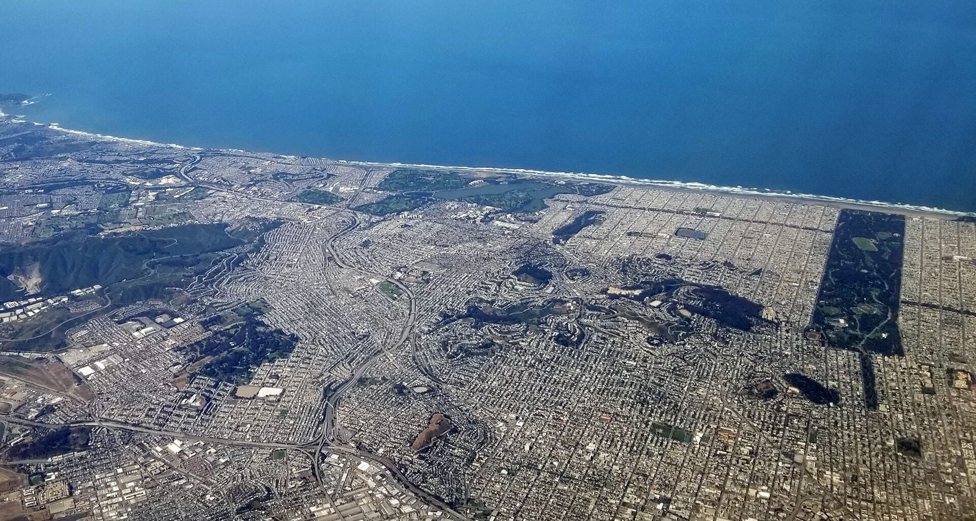
The Golden Gate National Parks Conservancy launched the Golden Gate Dozen Trail on July 1, 2026, timed just ahead of the Fourth of July weekend. The route runs roughly 13 miles along the city’s northern waterfront and Pacific coastline, starting at Crissy Field and ending at Fort Funston. Along the way, it links twelve national park destinations, including the Presidio, Lands End, and Ocean Beach, into one continuous route built entirely from existing trails, sidewalks, and streets. Nothing new was paved. The parks were always connected. Most people just never walked the dots between them.
What It Actually Is
Think of it as the Golden Gate National Recreation Area’s answer to San Francisco’s Crosstown Trails, the neighborhood routes that thread the city together using stairways and paths locals already use. The Dozen does the same thing along the coast, turning a dozen separate “let’s drive out and see that one thing” trips into a single point-to-point day.
AllTrails partnered on the route, so turn-by-turn directions live in their app rather than on new physical signage. As of this writing, there are no dedicated trail markers along the way, though the SF Chronicle has reported that could change down the line. For now, the map is digital.
The full route runs about 11.9 to 13 miles depending on the source, with roughly 850 feet of elevation gain. AllTrails estimates 4.5 to 5 hours to complete it start to finish, and the Conservancy’s own advice is refreshingly honest: tackle it in chunks if the full day feels like too much. Many segments, including the Crissy Field Promenade, are wheelchair accessible, and beach wheelchairs are available on request at Crissy Field for anyone who wants ocean access without the sand.
There’s a mascot too. A cheerful, pink-frosted donut, playing on the “dozen” name, shows up on limited-edition stickers available at a handful of stops along the route. Collect enough of them, and you’ve earned informal status as what the Conservancy is calling a “Dozen-er.”
Why This Fits the Way We Travel
This is squarely in the spirit of what I’ve been writing about since Cleveland: a city not organized around the car, revealing itself at walking speed instead. The Dozen just formalizes that idea into a named, mapped route.
It also happens to bookend nicely with transit. Crissy Field, the trail’s northern start, is reachable by Muni bus without a car in sight. Fort Funston, the southern end, sits further from rail but connects via Muni bus lines that run along the western edge of the city. Neither endpoint requires a rental car or a parking garage, which means the whole 13 miles can genuinely be a car-free day: bus to Crissy Field, walk or bike south along the water, bus back from wherever you finish.
That’s the appeal for a trip like this. You’re not committing to all 13 miles or nothing. Take it in pieces, string transit between segments, and come back another day for the stretch you didn’t finish. The trail was built for exactly that kind of flexibility, and it happens to match how I’d recommend tackling any long urban walk.
The Practical Reality
No new signage yet means the AllTrails app is doing a lot of the navigational work. A few reviewers have noted that certain sections could use clearer waypoints, and at least one hiker mentioned showing up to collect a sticker at the Warming Hut before it had opened for the day. Worth checking hours before you build a stop around a specific stamp or sticker location.
Your Turn
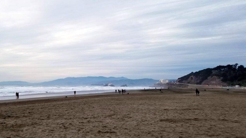
If you’re in San Francisco this summer, this is a built-in excuse to leave the car behind entirely. Pick a chunk. Crissy Field to the Presidio’s Tunnel Tops is an easy half-day start. Lands End to Ocean Beach captures some of the best coastal views in the city. Or, if you’ve got the legs and the weather cooperates, do the whole thing start to finish and see what a “hidden in plain sight” national park route looks like when you experience it on foot instead of through twelve separate parking lots.
Route details and mile markers via the Golden Gate National Parks Conservancy, in partnership with AllTrails, at parksconservancy.org/ggdozen.